")
")
")

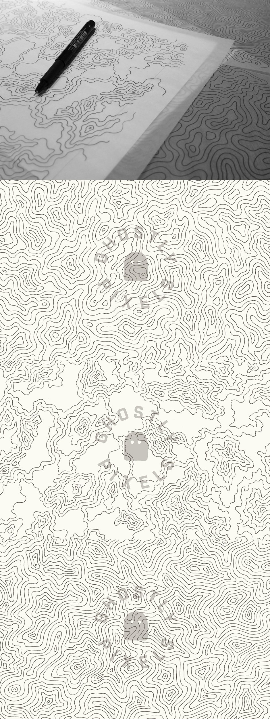
This set of 3 individual topographic/elevation maps were drawn 100% by hand. The illustrations were then scanned in and exported to vector .EPS. The result is an extremely high-resolution set (48 Megapixels in .PNG format!).
The pieces maintain the subtle, organic imperfections that can only result from being drawn by hand. The time investment to create each image was approximately 4 hours each.
Included in this set:
• 3 individual hand-illustrated maps
• 3 .EPS files (8.5×11)
• 3 .PNG files 8000×6100 px
• Each illustration features dark gray lines over completely transparent backgrounds
Note: These are not tiling or repeating patterns.
Software compatibility: Adobe Illustrator or Photoshop CS1 and newer. .PNG files will work with most graphic software.
This product was originally featured in The Essential Hand-Made Vectors Collection
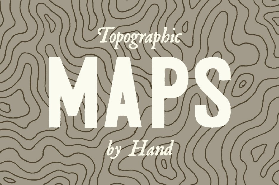
3 Topographic Elevation Maps
Extended Licence Included for personal & commercial projects
Professional Support from our helpful team


Why Design Cuts is The Smart Choice For Designers
Huge savings when you buy two or more marketplace items
Contact our friendly Customer Support Team at any time for help or advice
Our downloads don't expire! Download what you need, when you need it
Be the first to review “3 Topographic Elevation Maps”