")
")
")
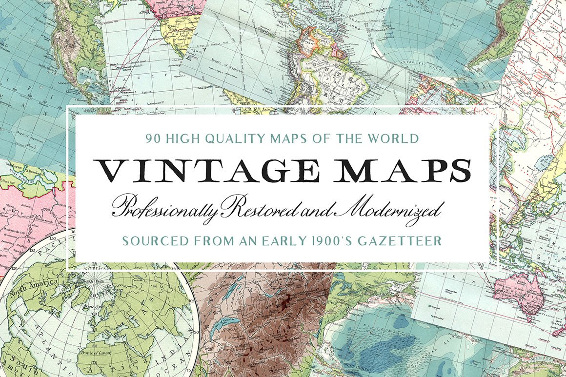
Introducing the Latest Addition to Our Extensive, High Quality, and Rare Collection of Vintage Maps!

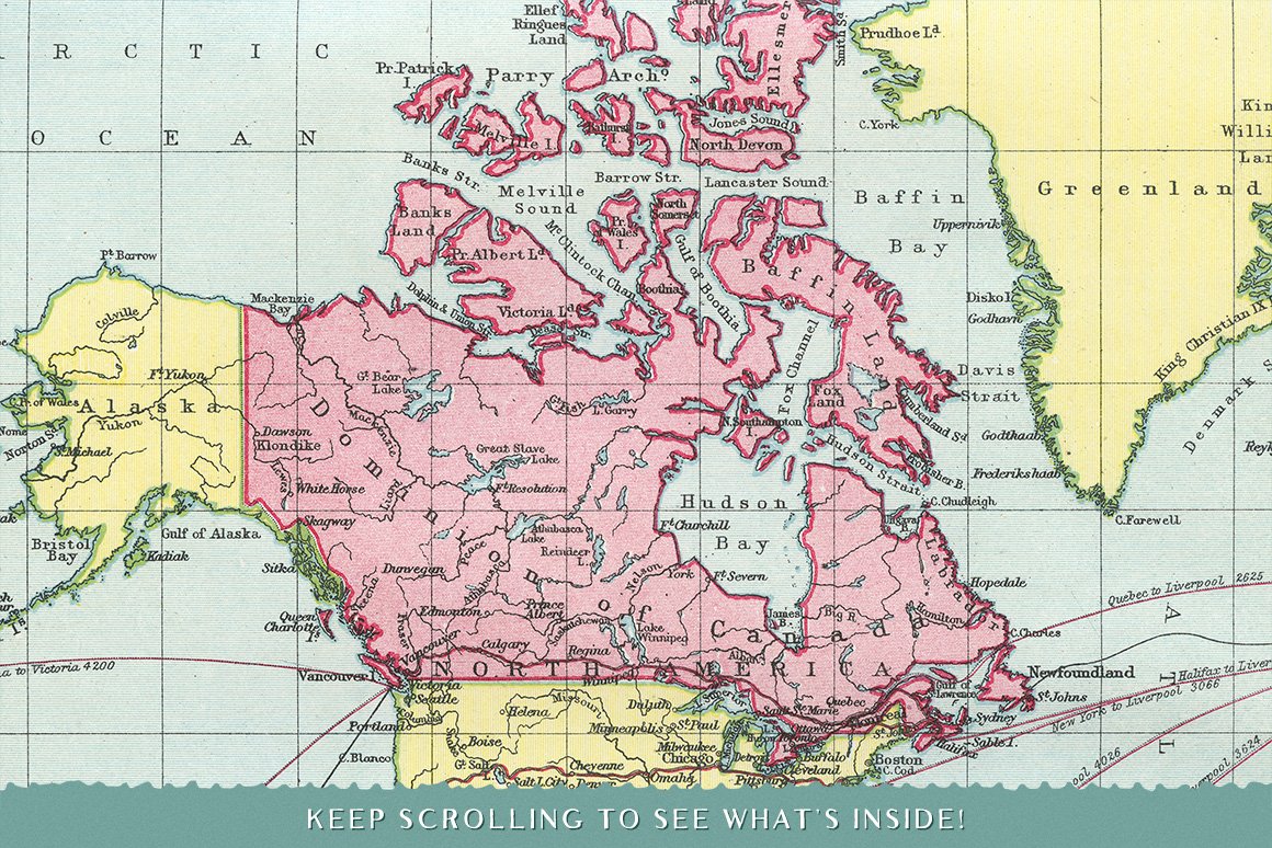
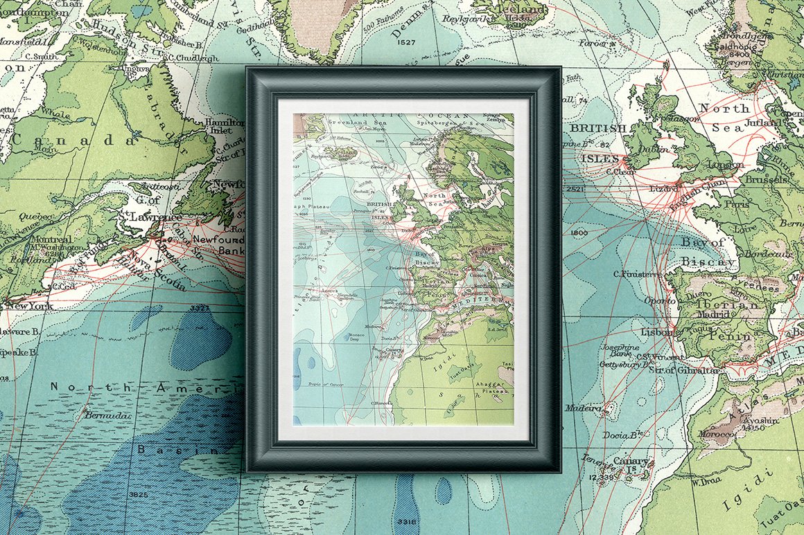
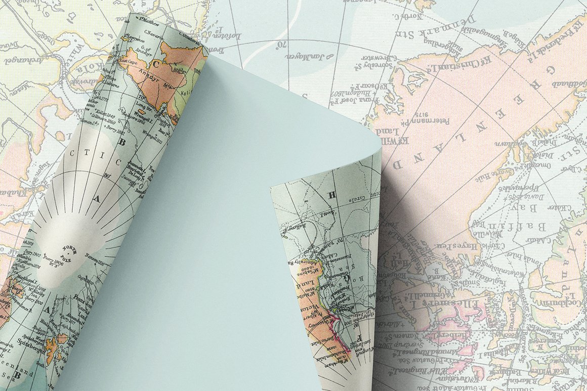
Each image within this wonderful collection of Vintage Maps was sourced from an early 1900’s Atlas and Gazetteer that was in an almost perfect condition.
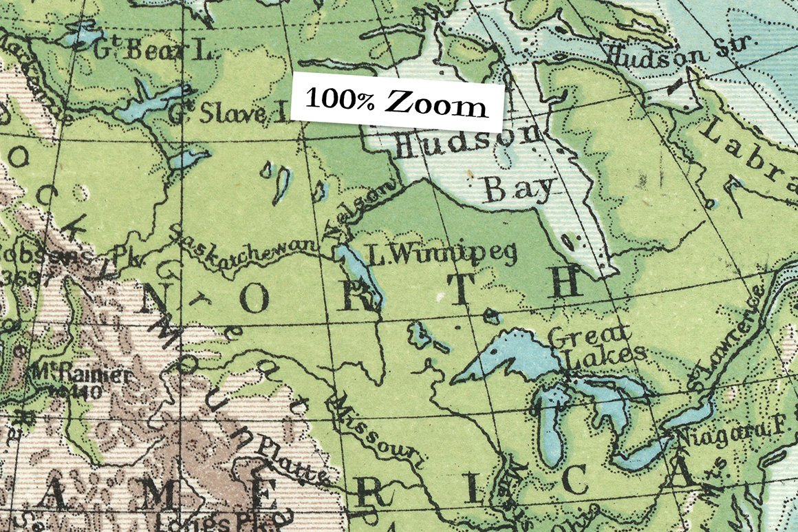
To squeeze in as much detail as possible we have scanned each map at 1200ppi (around 4 minutes per scan!). Worth the wait! Just check out the 100% zoom, the quality is amazing.
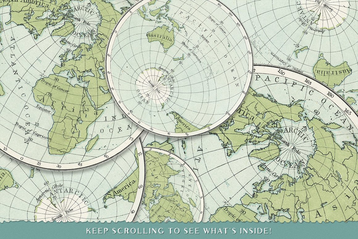
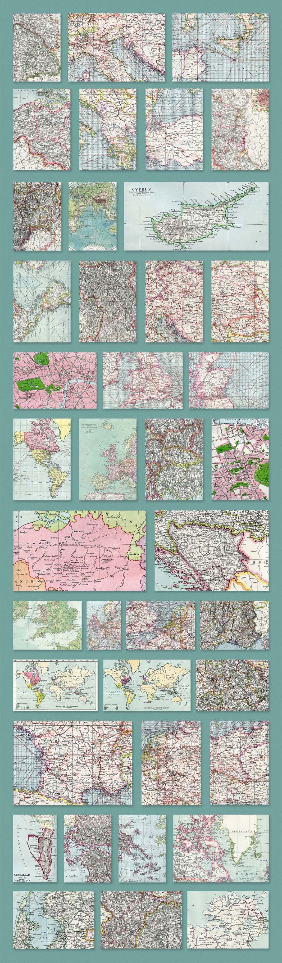
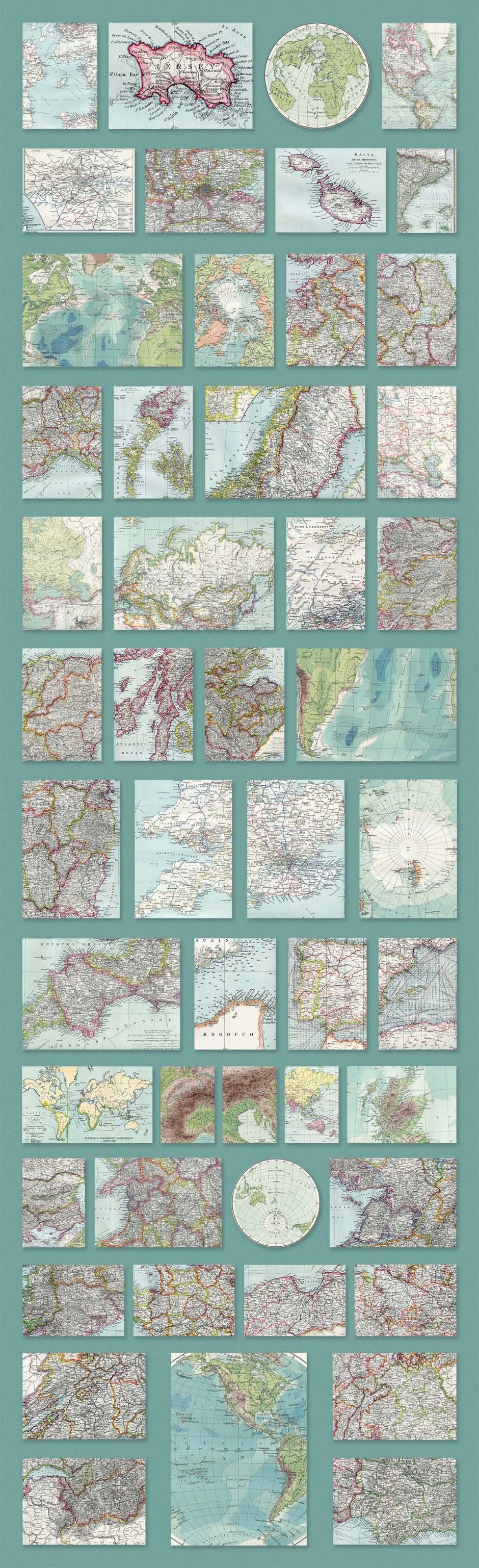
The Areas Covered; America, Atlantic Ocean, Austria, Balkan States, Belgium, Bosnia, Brabant, British Isles, Central London, Cyprus, Eastern Hemisphere, Switzerland, England, English Channel, Europe, France, Germany, Gibraltar, Greece, Greenland, Holland, Hungary, Ireland, Jersey, Malta, Morocco, The Mediterranean, North Atlantic Ocean, North Pole, South Pole, Italy, Russia, Scotland, Spain, The Alps, Turkey, Wales, and more!
Included in this set:
• 90 Super-High Resolution Vintage Map Scans
• .JPG Format (2 Circular .PNG Images also included)
• Average Resolution of 6400 x 9000 (300 ppi)
• Over $110 Worth of Materials Used
Software compatibility: .JPG and .PNG files will work with most graphic software
This product was originally featured in Totally Extensive Textures Patterns Bundle
These images have been provided by the designer for presentational purposes only. Please refer to the Design Cuts license for terms of use.
90 Super High-Resolution Vintage Maps Of The World
Extended Licence Included for personal & commercial projects
Professional Support from our helpful team


Why Design Cuts is The Smart Choice For Designers
Huge savings when you buy two or more marketplace items
Contact our friendly Customer Support Team at any time for help or advice
Our downloads don't expire! Download what you need, when you need it
Be the first to review “90 Super High-Resolution Vintage Maps Of The World”