")
")
")
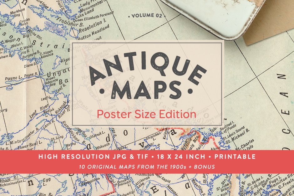
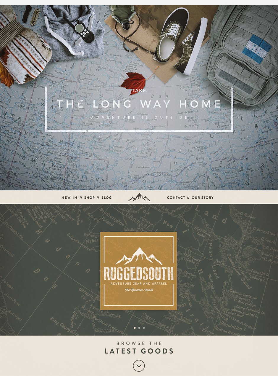
Antique Maps Vol.02 – a brand new collection of 10 vintage maps in the popular poster size format.

These vintage maps will bring a nostalgic yet adventurous vibe to your creative projects. Dating back to 1900s they are 100% genuine with soft pastel shades and intricate details. Expect to see a couple of authentic paper folds on each map and slight browning along the borders. The images are crisp even at 100% zoom and the paper texture around each map is complete. The extra large size makes them perfect for art prints, posters, calendars, paper crafts, wrapping paper, book covers, invitations, stationery, brand identity design and more!
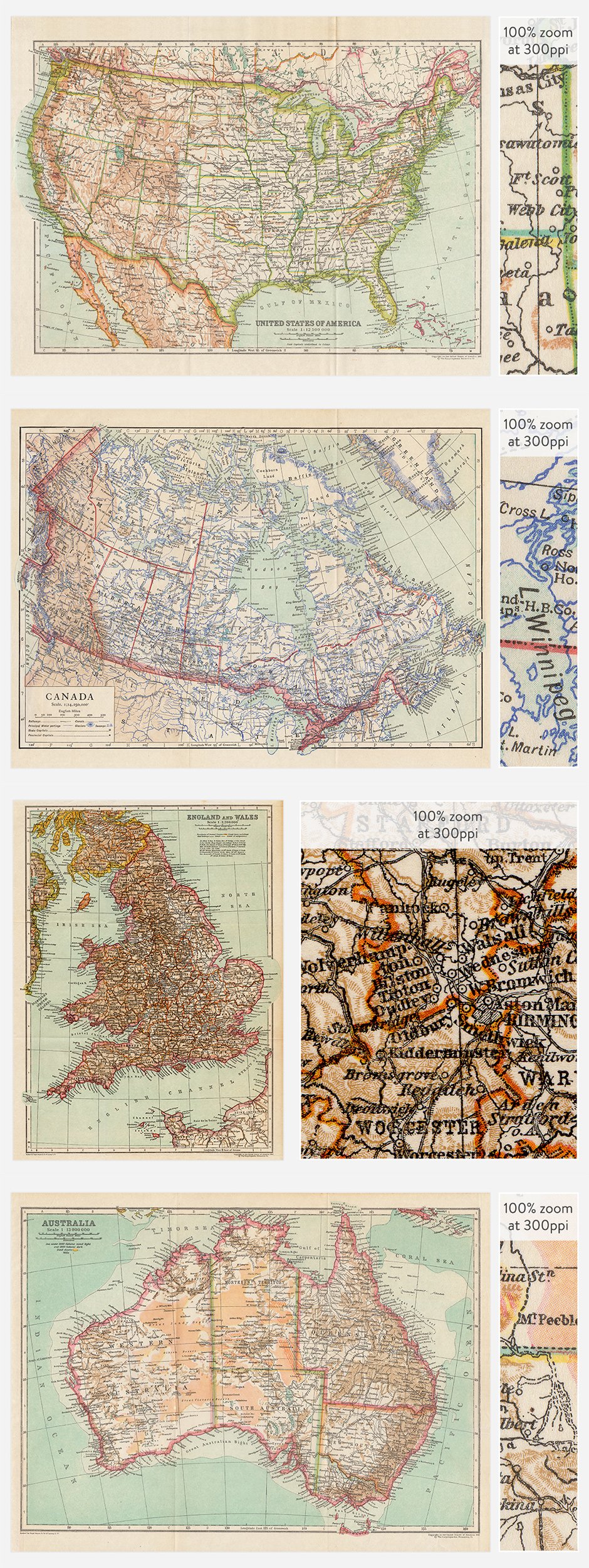
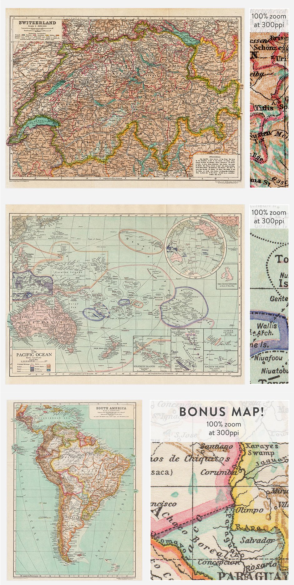
The maps come as huge 18x24in print-ready (300ppi) raster based images (.JPG and uncompressed .TIF). And there is a special bonus for you included in the pack – a beautiful 18x24in map of South America.
Included in this set:
• Map of USA (1910)
• Map of Canada (1910)
• Map of England and Wales (1910)
• Map of Australia (1910)
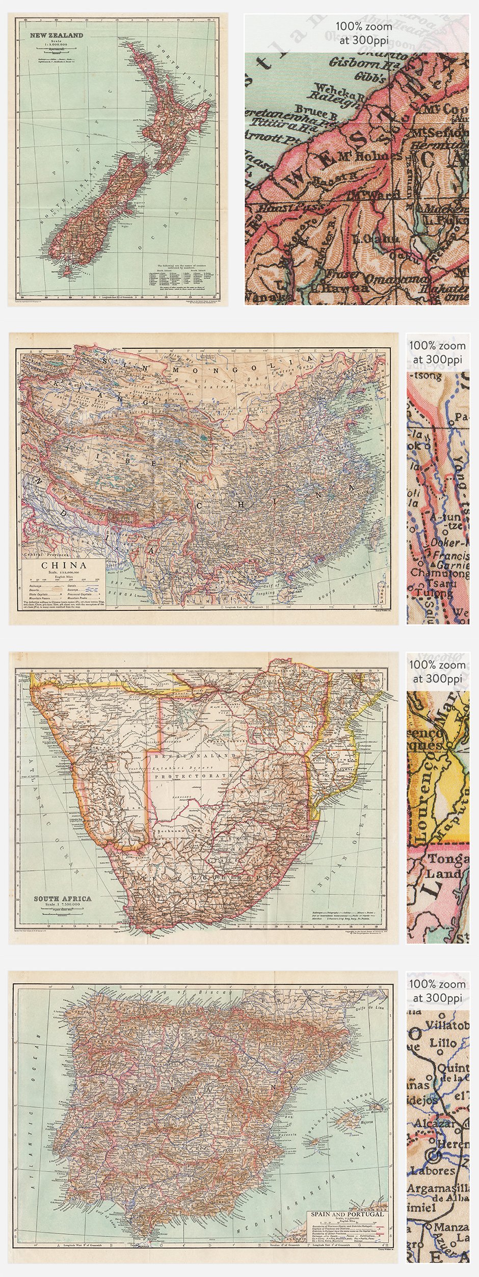
• Map of New Zealand (1910)
• Map of South Africa (1910)
• Map of China (1910)
• Map of Spain and Portugal (1910)
• Map of Switzerland (1910)
• Map of the Pacific Ocean (1910)
• Bonus map of South America (1910)
Software compatibility: .JPG and .TIF files will work with most graphic software.
This product was originally featured in The Inspiring Artistic Design Collection
These images have been provided by the designer for presentational use only. Please refer to the Design Cuts license for terms of use.
Antique Maps Vol. 2
Extended Licence Included for personal & commercial projects
Professional Support from our helpful team


Why Design Cuts is The Smart Choice For Designers
Huge savings when you buy two or more marketplace items
Contact our friendly Customer Support Team at any time for help or advice
Our downloads don't expire! Download what you need, when you need it
Be the first to review “Antique Maps Vol. 2”